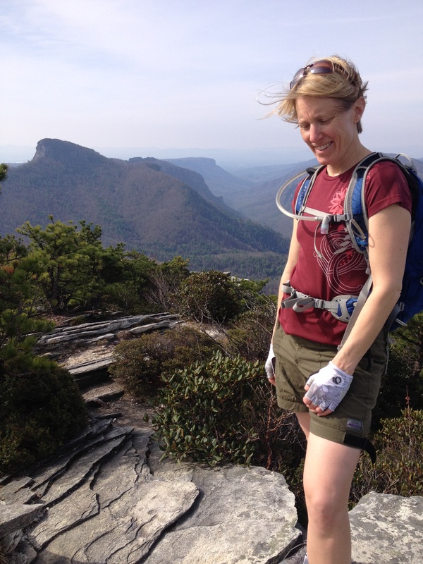
Hawksbill and Table Rock Mountains. Linville Gorge, North Carolina.
Two Short, Steep Hikes with WOW Factor Views.
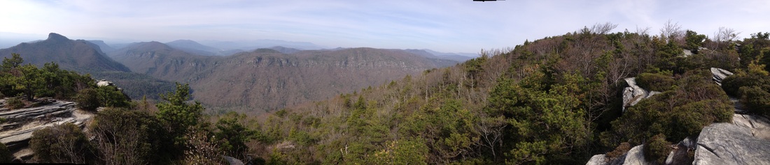
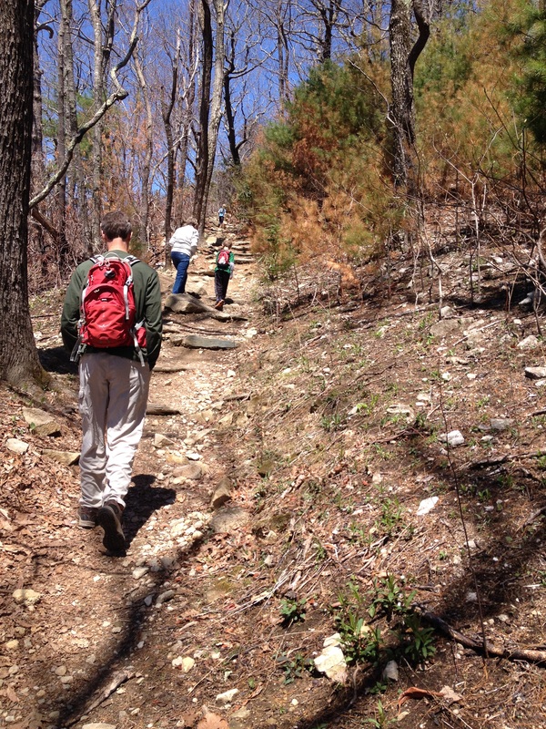
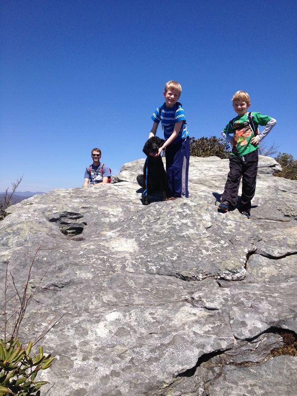
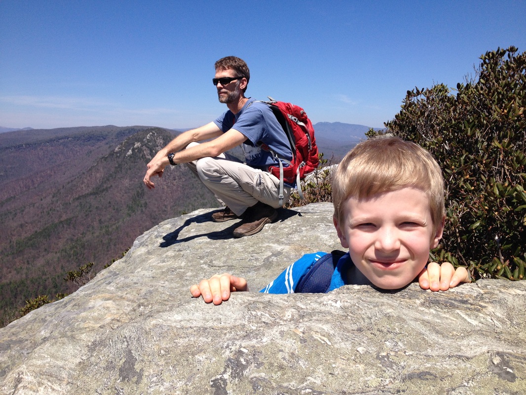
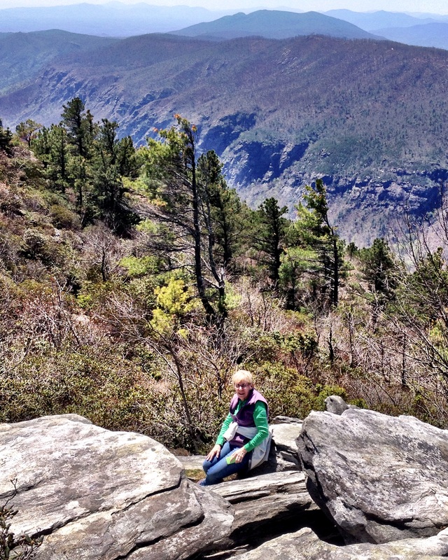
The Hikes. The Linville Gorge area is a good 90 minute drive from Johnson City, and getting to these two hikes will take a little longer because of the travel on gravel roads. BUT!! If you've got a day on your hands, these are some SPECTACULAR HIKES. Steve and I did them on our own one weekend and they were so perfect for the kids we came back with them two weeks later! They are steep and UP but with lots of fun rock scrambles and great vistas of the Gorge along the way. The two hikes are situated several miles apart on a nice wide and well maintained gravel road. If you are ambitious, you can do one, hop in the car, and drive to the other for another summit. In the photo above, we are standing on top of Hawksbill, looking at Table Rock (on the far left, with the funny shaped peak). Table Rock has a paved parking lot, vault toilets and picnic tables at the summit for sitting and eating your picnic lunch. As with many NC trails, if you go too late in the day on a weekend (after 11 a.m. or so), the parking lots may be full and there aren't many other parking options, so go on a weekday if you can, or get an early start! Each hike is in the 2 miles round-trip range, "about a mile up and a mile down."
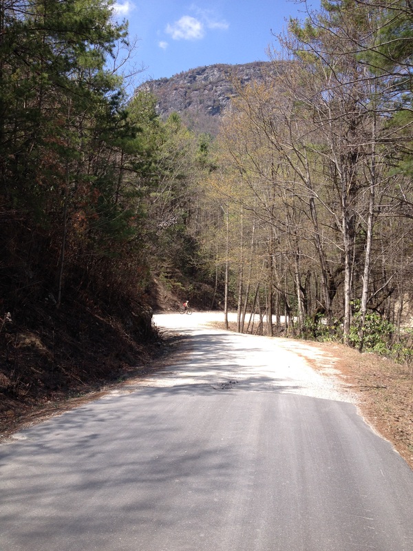
Directions. Thanks to the Hike Western North Carolina website for great directions and more details about this hike if you are interested: http://www.hikewnc.info/besthikes/linville-gorge-wilderness/table-rock/. From Johnson City, head through Elizabethton, then right on 19-E through the town of Roan Mountain. After Elk Park, stay on as it becomes 194 through the little town of Newland. After Newland, a few miles (3-4) go left on to US 221 to Pineola/Linville. At the junction of 221 and NC 191, head south (right) on 181 and stay on 181 for several (6-7) miles. Here is where you recruit your family to help look for Ginger Cake Road. But there are two Ginger Cake Roads!... you want the second one, which is only a mile or two further on, and has a sign for Table Rock at its entrance. Signage for Table Rock will lead you the rest of the way, mostly gravel. To hike Hawksbill, look for a pull over on the left, a few miles in. There is only space for 5 or 6 cars. The trailhead is across the road from the parking lot. To hike Table Rock, continue on, following signs to FS 210B. Turn right here, and go another 1.3 miles on gravel then right again onto Old Table Rock Road, which becomes paved and super steep and switchbacky before ending in the parking lot.
Directions. Thanks to the Hike Western North Carolina website for great directions and more details about this hike if you are interested: http://www.hikewnc.info/besthikes/linville-gorge-wilderness/table-rock/. From Johnson City, head through Elizabethton, then right on 19-E through the town of Roan Mountain. After Elk Park, stay on as it becomes 194 through the little town of Newland. After Newland, a few miles (3-4) go left on to US 221 to Pineola/Linville. At the junction of 221 and NC 191, head south (right) on 181 and stay on 181 for several (6-7) miles. Here is where you recruit your family to help look for Ginger Cake Road. But there are two Ginger Cake Roads!... you want the second one, which is only a mile or two further on, and has a sign for Table Rock at its entrance. Signage for Table Rock will lead you the rest of the way, mostly gravel. To hike Hawksbill, look for a pull over on the left, a few miles in. There is only space for 5 or 6 cars. The trailhead is across the road from the parking lot. To hike Table Rock, continue on, following signs to FS 210B. Turn right here, and go another 1.3 miles on gravel then right again onto Old Table Rock Road, which becomes paved and super steep and switchbacky before ending in the parking lot.
An Aside. If you do drive to Table Rock, you can begin to appreciate the kind of insanity/sheer foolishness that Steve and I will sometimes welcome into our life. Our first trip, sans kids, was a bike ride, which started a mile or so in on Gingercake Road, a stop to hike Hawskbill, continued ride to Table Rock (yes, we biked up there) a hike and lunch at the summit, then the ride back to the car. I slept almost the whole way home!
