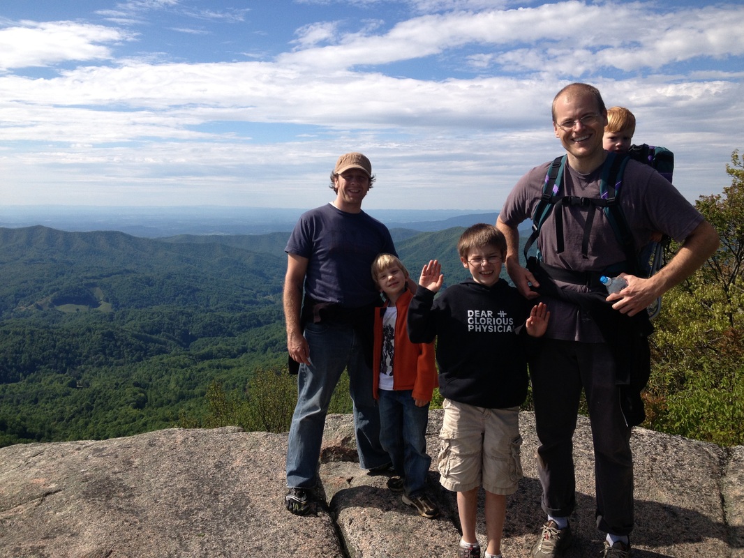
High Rock (near Roan Mountain), TN.
Treacherously cool ledge. Killer vista all to yourself. Other surprises.
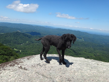
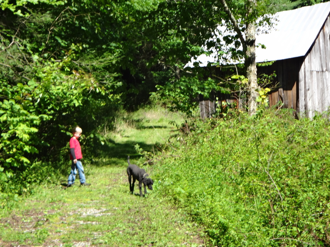
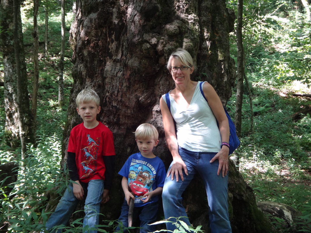
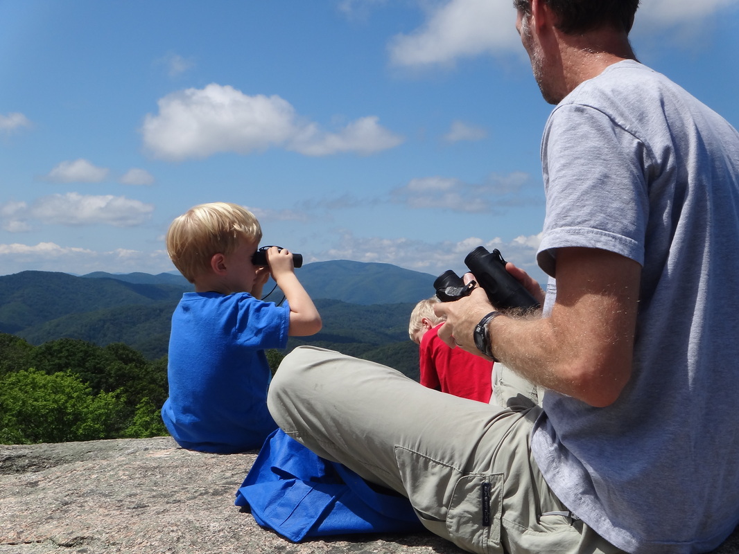
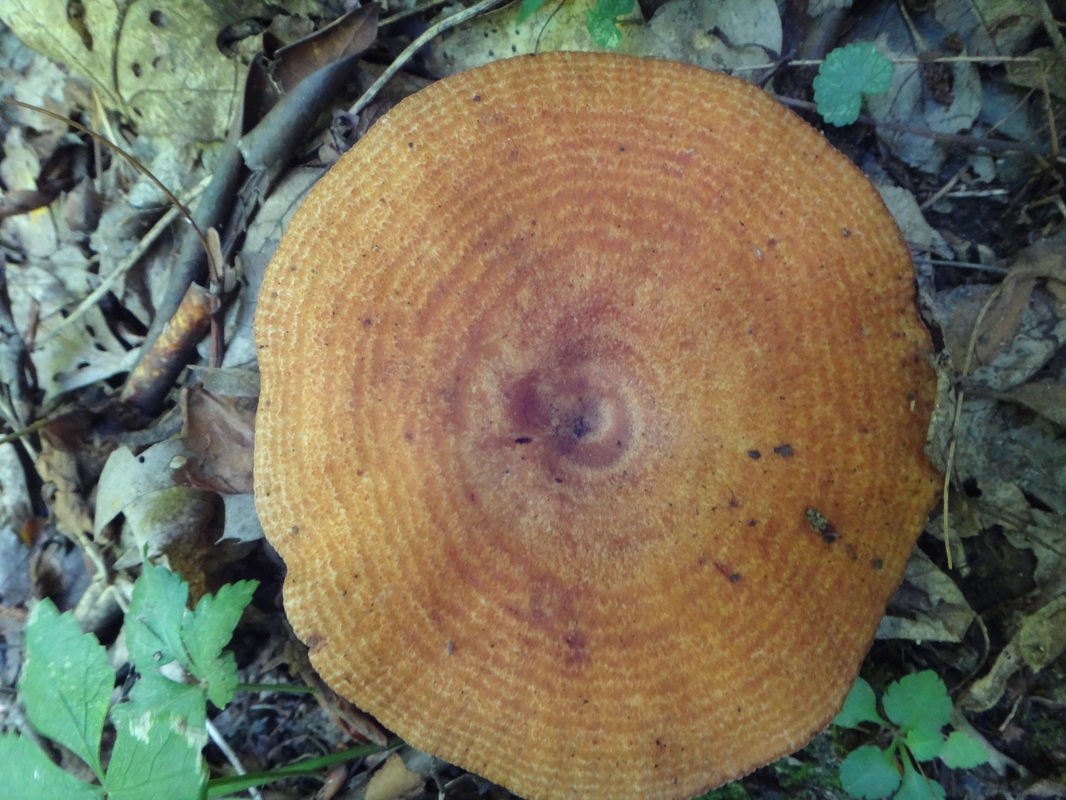
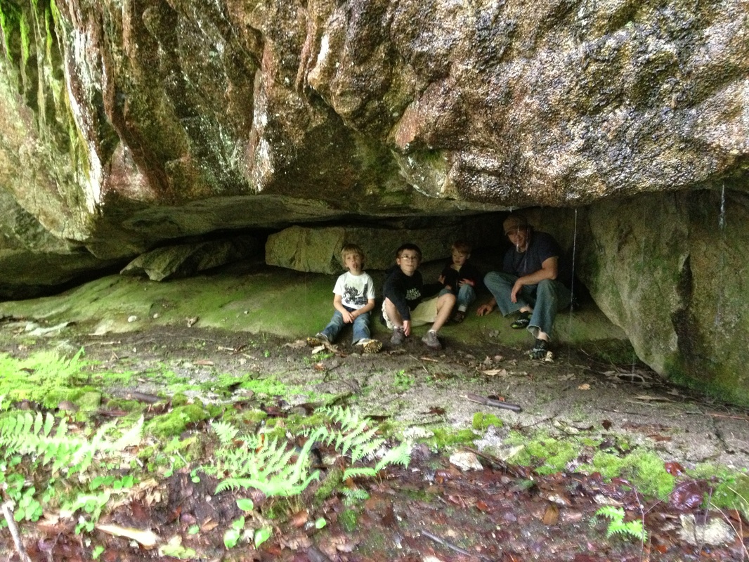
The Hike: Wow. We are idiots for putting this one on here. I don't want anyone to know about this place! But, I can't help myself. It is too good a secret to keep! First, put a loaf of bread, a half dozen bananas, a butter knife, and a jar of peanut butter in your backpack. Next, load up the van and make sure you have the driving instructions because this one is off the beaten path. After that, get ready to have fun with whatever this trail is dishing up when you go. We have done off-trail hikes, find the best mushroom hikes, and "look at this old tree" hikes up to High Rock. It is about 1 mile to the top, mostly uphill although not all steep, and returning the same way (2 miles round trip). And note: keep your kids close as you approach the top. It really is a freaky serious drop off. We have a rule that ours have to move on their hands and knees only (no walking). But we should have brought a leash for Tsuga. He was all over that ledge and it was giving us a heart attack!
Directions: To get there, take Roaring Creek Road, which is off of 19E, 3 miles west of the town of Roan Mountain, TN. Continue on Roaring Creek Road 4 miles, then turn right on Miller Hollow Rd. Follow Miller Hollow Road 1.3 miles until it ends. Park your car along the side, out of the way. It is our understanding that this is private property, but the owners allow visitors to High Rock to pass over their property to get to the public land as long as they are respectful and we were met with a smile after one recent hike.
Directions: To get there, take Roaring Creek Road, which is off of 19E, 3 miles west of the town of Roan Mountain, TN. Continue on Roaring Creek Road 4 miles, then turn right on Miller Hollow Rd. Follow Miller Hollow Road 1.3 miles until it ends. Park your car along the side, out of the way. It is our understanding that this is private property, but the owners allow visitors to High Rock to pass over their property to get to the public land as long as they are respectful and we were met with a smile after one recent hike.
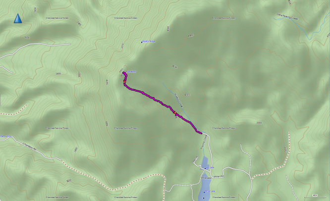
| highrock.gpx |
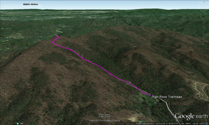
| highrock.kmz |
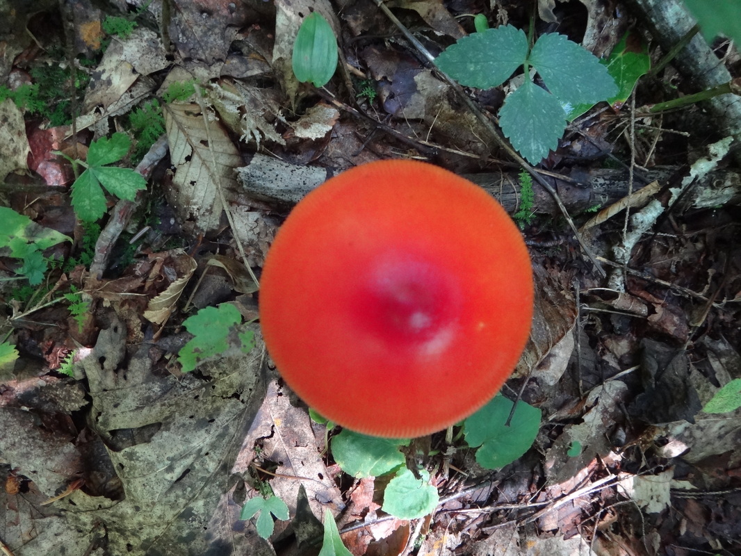
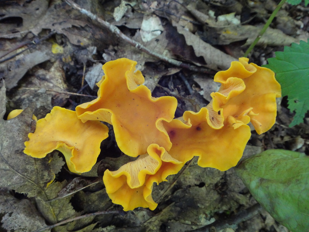
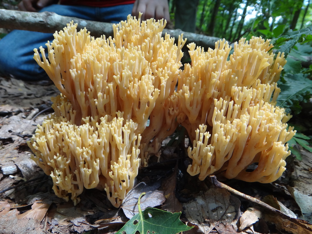
To View Bridger's Mushroom Guide, click on this link:
http://prezi.com/kbowplhs_xp0/?utm_campaign=share&utm_medium=copy&rc=ex0share
http://prezi.com/kbowplhs_xp0/?utm_campaign=share&utm_medium=copy&rc=ex0share
